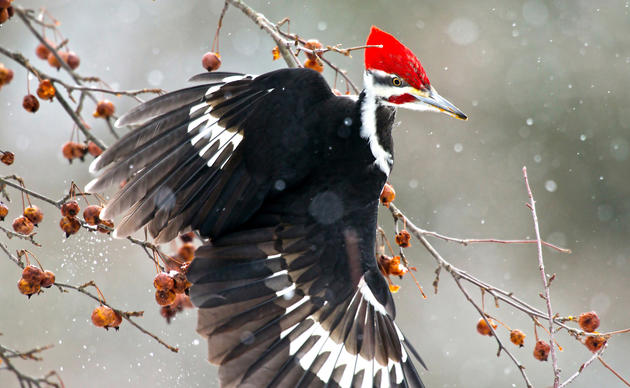
Birds in This Story
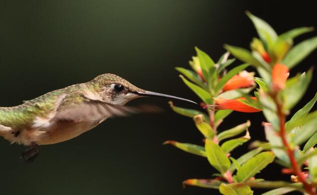
Golden-winged Warbler
Latin: Vermivora chrysoptera

Steven LaMonde, Audubon Vermont's graduate student intern, used cutting edge mapping technology to help Audubon Vermont find the rare Golden-winged Warbler. Now Audubon is working with landowners and land trusts to protect and maintain critical breeding habitat.
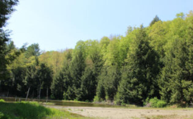
In past years, Audubon Vermont identified potential Golden-winged Warbler habitat across the Champlain Valley by hand-drawing circles on satellite images. Steven, as part of his graduate research, utilized a geographic information system (GIS) called ArcGIS to automate this process. By incorporating known locations of Golden-winged Warblers, Steven created a computer model that could analyze satellite imagery and pinpoint all areas of potential Golden-winged Warbler habitat (see images below). Steven is currently adding the field data he collected on Golden-winged Warblers this summer to increase the accuracy of his model.

Additionally, Steven created three story maps to highlight Audubon Vermont’s conservation and education work. Story maps are online, interactive applications that tell a story or showcase a place.
- The first story map introduces visitors to the hiking trails, diverse habitats, and birds at Audubon Vermont's Green Mountain Audubon Center. To explore the interactive Audubon Center story map, visit this webpage: vt.audubon.org/visit-us
- Steven’s second story map features participants in Audubon Vermont’s Bird-Friendly Maple Project. You can find maple producers, explore their sugaring operations, and learn more about the particular bird species that rely upon the sugarbush for their survival. Explore the Bird-Friendly Maple Project Story Map.
- The last story map is still under construction. It will highlight Golden-winged Warbler conservation work throughout the Champlain Valley. Learn more about Audubon Vermont's Golden-winged Warbler conservation work.

Steven has enjoyed working with Audubon Vermont because he espouses the same values of conservation, education, and furthering our understanding of avian ecology. He also expresses gratitude for working with Audubon staff, and has become more motivated to pursue a doctorate as a result of his work with Audubon Vermont.